Satellite-based Environmental Analytics
Monitoring the effects of climate change through the application of high-resolution satellite imagery and sophisticated data analytics.
Project Overview
Updated March 31, 2023
The Problem
Climate change, pollution, urbanization and natural disasters have accelerated the need to better monitor their impacts on our planet.
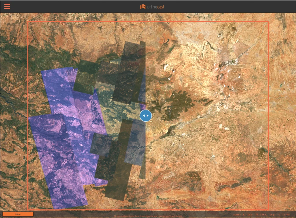
To understand the long-term impacts across vast areas, space-based images of earth are vital. Large collections of overlapping satellite images can be accurately merged together as mosaics to help understand how the earth’s landscape and ecosystem evolve over time. These mosaics provide vital data to help us understand the health of wetlands, forests and agricultural regions around the globe.
Mosaics for large areas tend to be constructed from low-resolution images. Producing high-quality mosaics for large areas is labour intensive and time consuming; they can take many months to build as they are often manually pieced together to create precise and seamless images that are cloud, shadow and artifact free.
How We Are Solving It
The Result
This project developed EarthDaily Analytic’s “EarthMosaics” service to automate and accelerate the generation of high-quality, analytics-ready mosaics using multiple sources of complex earth observation satellite data for monitoring the effects of climate change, pollution, urbanization and natural disasters across vast areas.
EarthDaily Analytics generated automated state and country scale mosaics that serve end-user’s needs doing environmental analytics, including creating over 17.9 terabytes of analysis-ready data mosaic products covering areas such as British Columbia, U.S. West Coast and Mountain States, New South Wales Australia and 2021 fire areas in British Columbia. EarthDaily was also able to secure unexpected early customers and multiple global commercial agreements for the mosaic service. EarthMosaics was also used to address global food security in Morocco and Ukraine.
Project Lead

Project Partners


-

“With the support of the Digital Supercluster, we are excited to announce the EarthMosaics Beta release, which allows us to scale up our customer base and support the growing demand for high-quality geospatial data to derive insights from the natural environment. By utilizing the power and flexibility of EarthMosaics to provide high-quality, customized, cloud-free imagery that is optimized for machine learning and AI at scale, our customers are accelerating their analytics capabilities and realizing the superior value proposition of the highly customizable EarthMosaics service offering.”
Vice President Engineering - EarthDaily Read the Beta Announcement (March 2022)