Protecting Our Planet: Collaboration is Key
AN IMPACT STORY
A distributed data store that helps us analyze, query and treat our earth better.
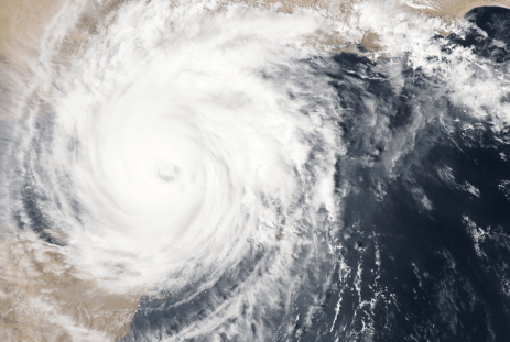
The resource sector contributes 17 per cent of Canada’s GDP, and with satellite imagery becoming increasingly relevant, it’s no wonder that the Earth Data Store project has the potential to strengthen our resource sector and drive global leadership in using data to support natural resources.
Earth Data Store is led by EarthDaily Analytics in collaboration with Sparkgeo, Microsoft, UBC, the University of Victoria (UVic) and Geoscience BC. The group is enabling unparalleled access to complex geospatial and earth observation data from satellite imagery by using algorithms to aggregate, analyze and display this data on interactive maps to reveal how regions evolve over time.
“The key with this project is that you don’t have to be a highly specialized data scientist to use the system. You don’t have to dig into every instrument on the ground or in the sky to use this tool to evaluate policies, make timely decisions and manage resources.”
– Yvonne Coady, Professor of Computer Science at the University of Victoria
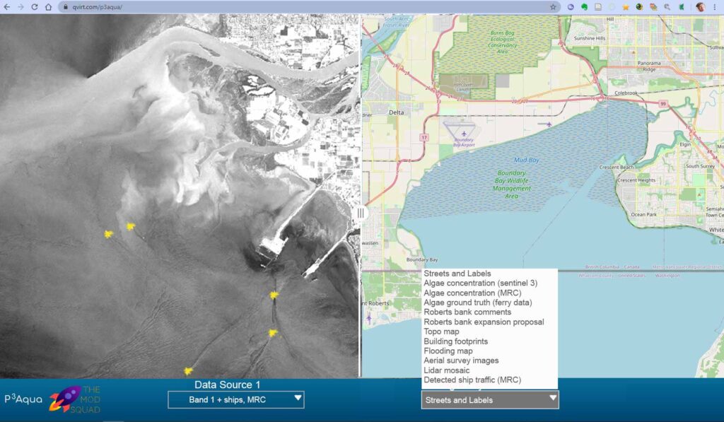
According to Coady, big-data projects like Earth Data Store present two principal challenges: finding practical ways to use the vast quantities of complex information being collected and delivering a valuable tool that can support decision making for industry and government. That’s why the initial phase of Earth Data Store is focused on standardizing and aggregating data from multiple, disparate sensors.
According to William Parkinson, Technical Product Manager of software engineering at EarthDaily,
“The platform will provide unique capabilities to guide city growth, environmental sustainability and respond to disasters such as forest fires and floods.”
By identifying factors such as population densities, roads under construction, and parks and public areas that need servicing, Parkinson explains these tools can
examine historical trends and current patterns, determine where Canada is at risk, and identify mitigation strategies. Likewise, the platform can show how to best irrigate vegetation to avoid water waste and where new sustainable urban areas can be built in harmony with the environment.
Given they can provide keen insights without extensive filtering, geospatial analytics products have typically been sold to governments, scientists and the military, says Sparkgeo Founder and CEO, Will Cadell. “But there’s a massive blue ocean for the commercial sector,” he adds, pointing to the insurance industry and to the sustainable development of major resource projects that are valued at $585 billion over the next 10 years
Earth Data Store is also inspiring the next generation to harness the power of geospatial data.
The Digital Technology Supercluster, she adds, has shown her students that industry can embrace this goal. “There is so much open-mindedness and inclusiveness to support not only what one organization is doing, but also to consider how collaboration can produce a result that is greater than the sum of its parts.”
Learn more about the Earth Data Store Project